Within SYNERGIES, CIRCE Research Centre is developing one of the 6 Energy Apps, the “Network Asset Management and Predictive Maintenance Scheduler”. This App offers an intuitive UI which helps network operators to anticipate possible failures in their networks. The tool steps on relevant metrics and results from the Network Digital Twins, which are also developed within the project for the SYNERGIES pilots.
Leveraging Satellite Imagery for Vegetation Management
As innovative feature, CIRCE will implement an algorithm which predicts excessive growth of vegetation, optimizing maintenance intervals and avoiding costly field inspections in complex terrain. At the heart of the tool there is the Asset Health Score Calculator (to be configured in the app), which provides a means of predicting the failure probability. This failure might be caused for example by tree branches touching overhead lines.
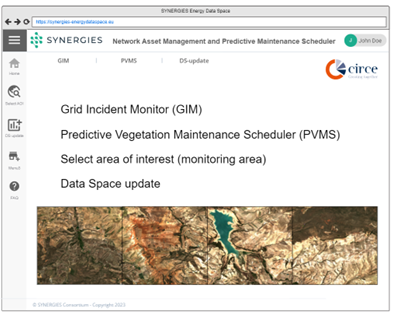
As a result, maintenance actions are scheduled, prioritizing on the maintenance tasks according to the criticality of predicted failures. Finally, as a monitoring tool, the application keeps track of the maintenance activities over the relevant network assets. The application main menu is shown in the picture below:
How does it work?
Satellite imagery such as provided by ESA’s Copernicus project, through SENTINEL Hub, can give valuable information about vegetation status and ground moisture. These images are available with time stamps, offering the possibility of extracting time series of remote sensing indices based on multi-spectral data. Thanks to another European Project Perceptive Sentinel, the open-source eo-learn Python package (available at GitHub) was created offering a solid basis to access and process such complex data. Just bear in mind, that multispectral imagery contains spatial, temporal and spectral dimensions.
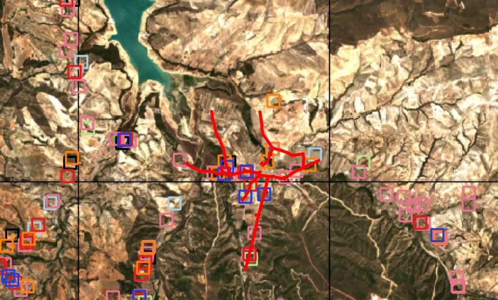
CIRCE is combining this with DSO’s GIS information of maintenance actions, in order to pinpoint critical regions for vegetation management. The picture below shows an RGB image from Sentinel2 satellite from May 2023, together with a distribution network (red lines) and maintenance actions (squares).
Next Steps
As for other SYNERGIES Energy Apps, the design phase has concluded with the presentation of a non-functional mock-up. As next steps, testing procedures will be elaborated and the application will be implemented. The first release of a bate version is foreseen for project month 22, which will be by June 2024. The final release is foreseen for August 2025, when the final validation phase starts.